Wagon
Cabin
tabtab

Home
The Trail
Bluff Fort
history
The Foundation
Contact Us
Donate


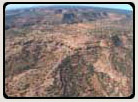
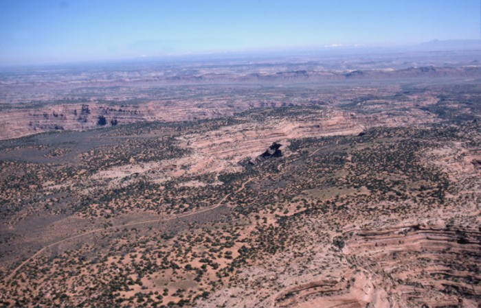
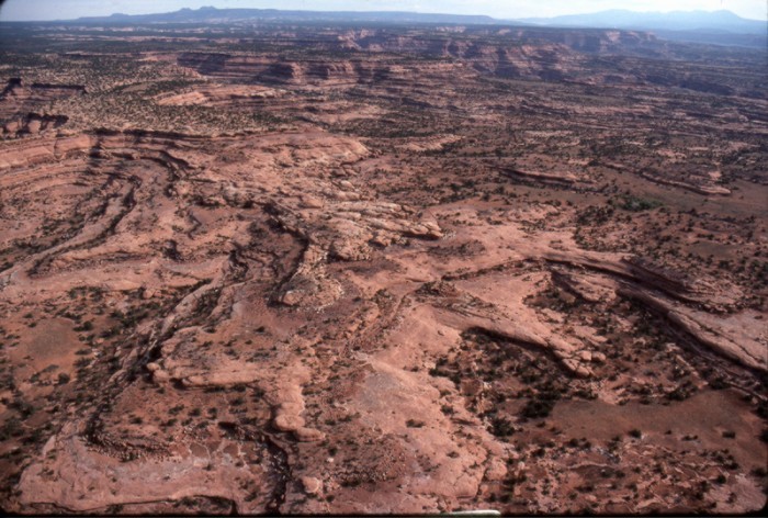
Site 21, The Twist
Dropping off the narrow neck of land and the higher elevations was accomplished with a series of switchbacks called The Twist.


Scroll down to view full gallery.
 
Video Clips - click to load viewer
 
Hole-in-the-Rock/River Gorge - winter conditions, Lamont Crabtree Photo
The Twist - Pioneers' path down from the higher elevations after detouring around Grand Gulch
 
 
Still Images - click to enlarge
 

Narrow neck of land between Owl Creek Canyon and Road Canyon which the pioneers followed east to the Twist. Lamont Crabtree Photo
The trail following a plateau between Owl Creek Canyon and Road Canyon
 
The Twist -- The pioneers' trail as it approaches the Twist, Lamont Crabtree Photo
Trail as it approached the Twist
 
The Twist -- The pioneers built switchbacks down the sandstone to get down from the higher elevations of their detour around Grand Gulch. Lamont Crabtree Photo
The Twist
 
The Twist -- the pioneers' route down the Twist, Lamont Crabtree Photo
The pioneers' route down the Twist
 
Image submittals are welcome! We are particularly interested in photos prior to Lake Powell. Click on "Contact Us" for details.


Home
|The Trail|Bluff Fort|Histories|HIR Foundation|Contact Us|Donate
© Copyright Hole-in-the-Rock Foundation ® 2008


The Hole-in-the-Rock Foundation Preserving the History and Sharing the Legacy